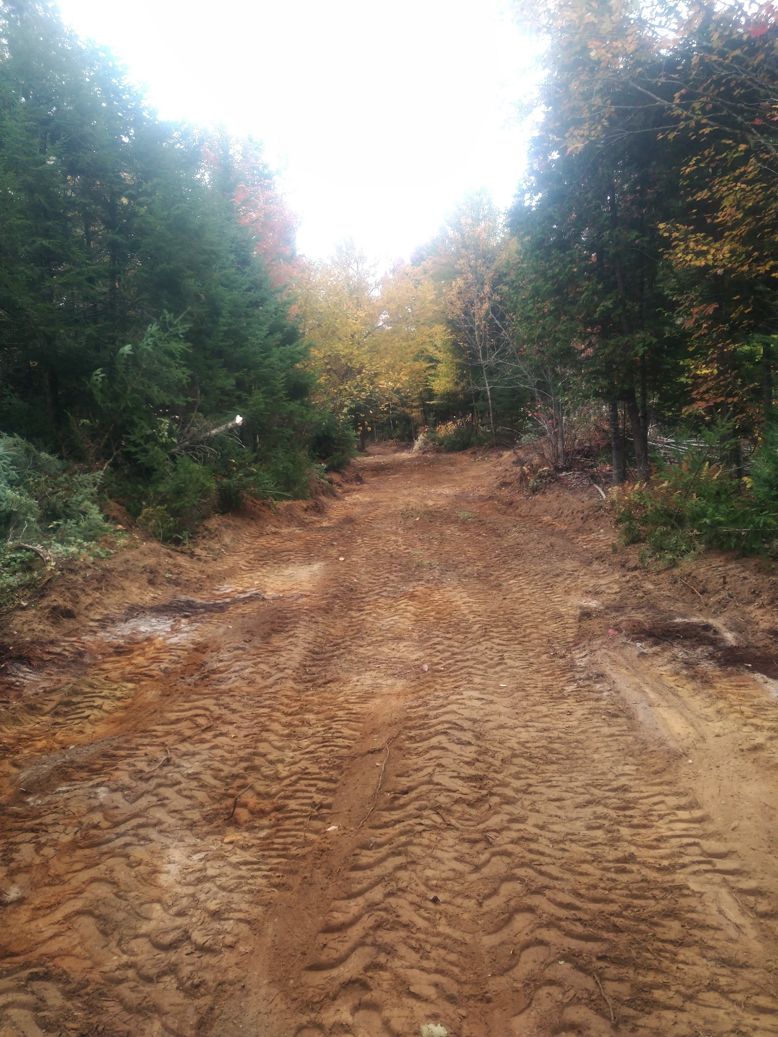
So one of the things I had promised to send to the Dirt Work Guys was a map of where I thought the best path to take to the cabin would be based on Google Earth info. I knew, based on our earlier conversation after they walked the property, that they would not be able to follow that route due to the marshy ground they had discovered. But I pulled the map together so they had an idea of what I had been thinking and asked him to send me something back showing where they were thinking the best path would be based on what they had seen when they walked the property. Shortly after texting him I get a response saying they ‘are a little off from what I send but things are good and they are staying a little high ground. And oh, BTW, we have started. ‘ Wait. What!?!? He said they had a job cancel so they were able to start on our job right away. His equipment has GPS tracking that shows where they have been and currently are. He sent the following pictures showing their progress.
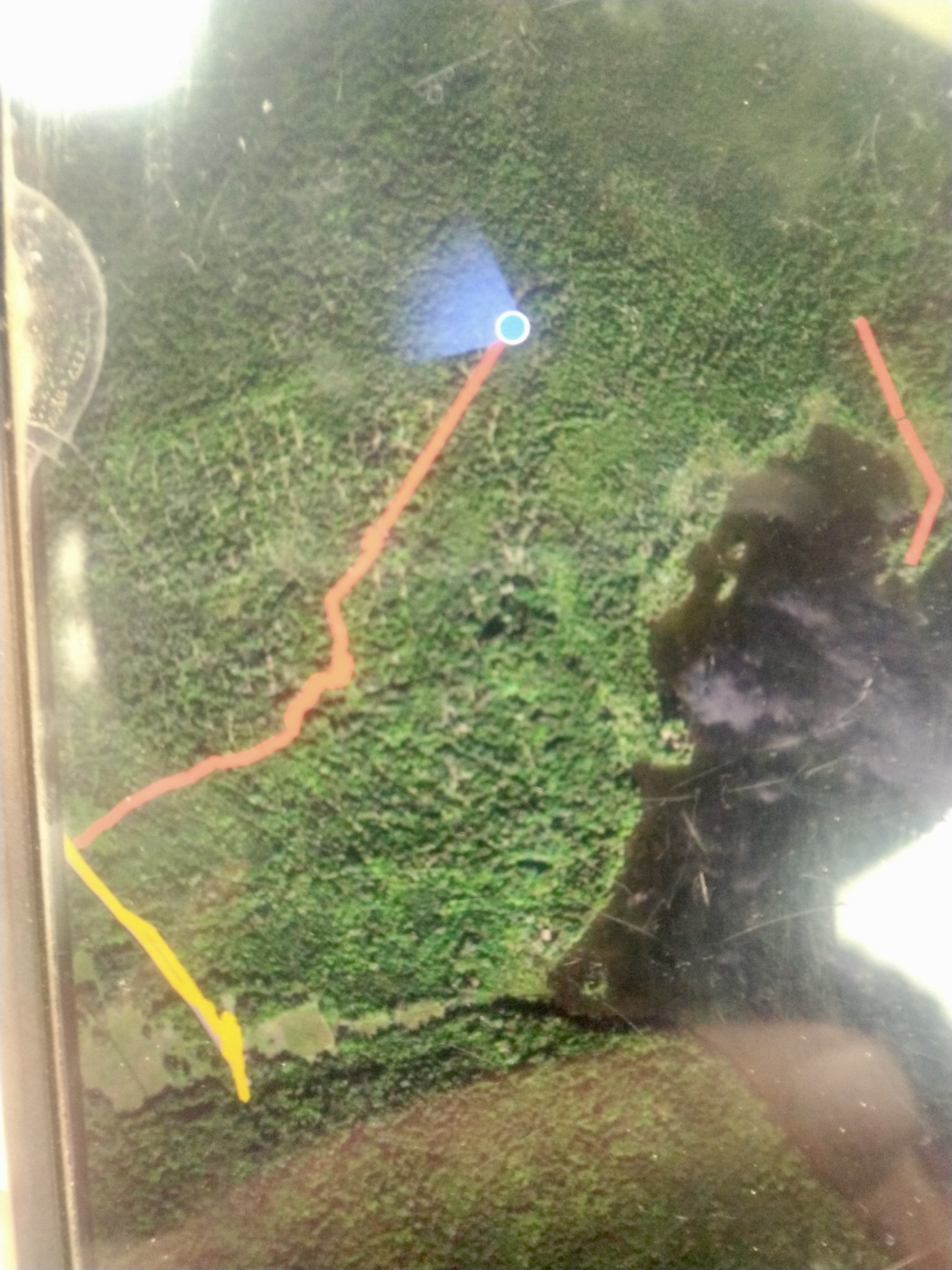
The yellow line represents the main, public dirt road that is used by the other few camps to access their camp. The orange line is our driveway being put in. The orange line on the right is not a road yet. It was where they had walked the property to mark where they thought the best path to the cabin would be.